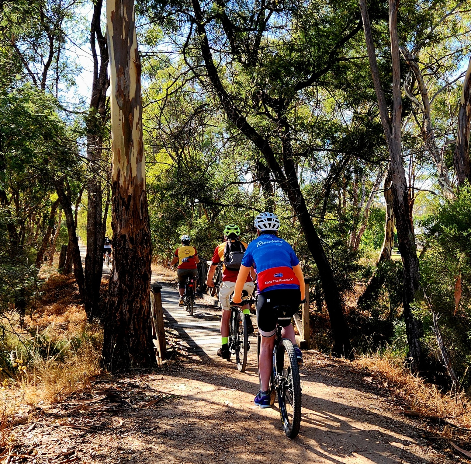
Some of the often admired engineering features of railway lines are the tunnels, bridges and cuttings. The former railway that the 50 km long O’Keefe Rail Trail between Bendigo and Heathcote occupies did not have any tunnels, yet it did have cuttings and 50 timber bridges built in 1888-89.
Only one of those original timber bridges remains as a functioning structure, the Grassy Flat Creek bridge (East Bendigo). The O’Keefe Rail Trail between Bendigo and Heathcote now has 19 bridges, 2 originals plus 17 being replacement trail only bridges.
The Friends of the Bendigo-Kilmore Rail Trail embarked on a project to have all the bridges named relative to the waterways they spanned. This evolved into a three-part project, the first part being to research and confirm all the officially named waterways. The second part being to fund, manufacture and install signs at both ends of bridges over officially named waterways.
With eight (8) waterways confirmed as being officially named, the Friends’ Project Team set about having the bridge signs manufactured and installed. These waterways are Grassy Flat Ck, Splitters Ck, Axe Ck, Sweenies Ck, Hargreaves Ck, Campaspe R, Mt Ida Ck, and Parsons Gully. This part of the overall project was completed in early 2020.
The third stage has been to research historical records, to identify possible names for the waterways that were never officially named by the State Government. This research included media publicity, to seek information from the general public and community groups. This last stage is ongoing and will require a formal submission to the City of Greater Bendigo to assess and recommend names to the State Government for formal adoption. This formal process is expected to take 12 months.
The final outcome will provide additional wayfinding assistance for trail users, important location information for emergency first responders when required, assist with the trail’s management and maintenance, as well as highlighting additional points of interest for visiting tourists and the general public.
Discover more from Friends of the Bendigo-Kilmore Rail Trail
Subscribe to get the latest posts sent to your email.
