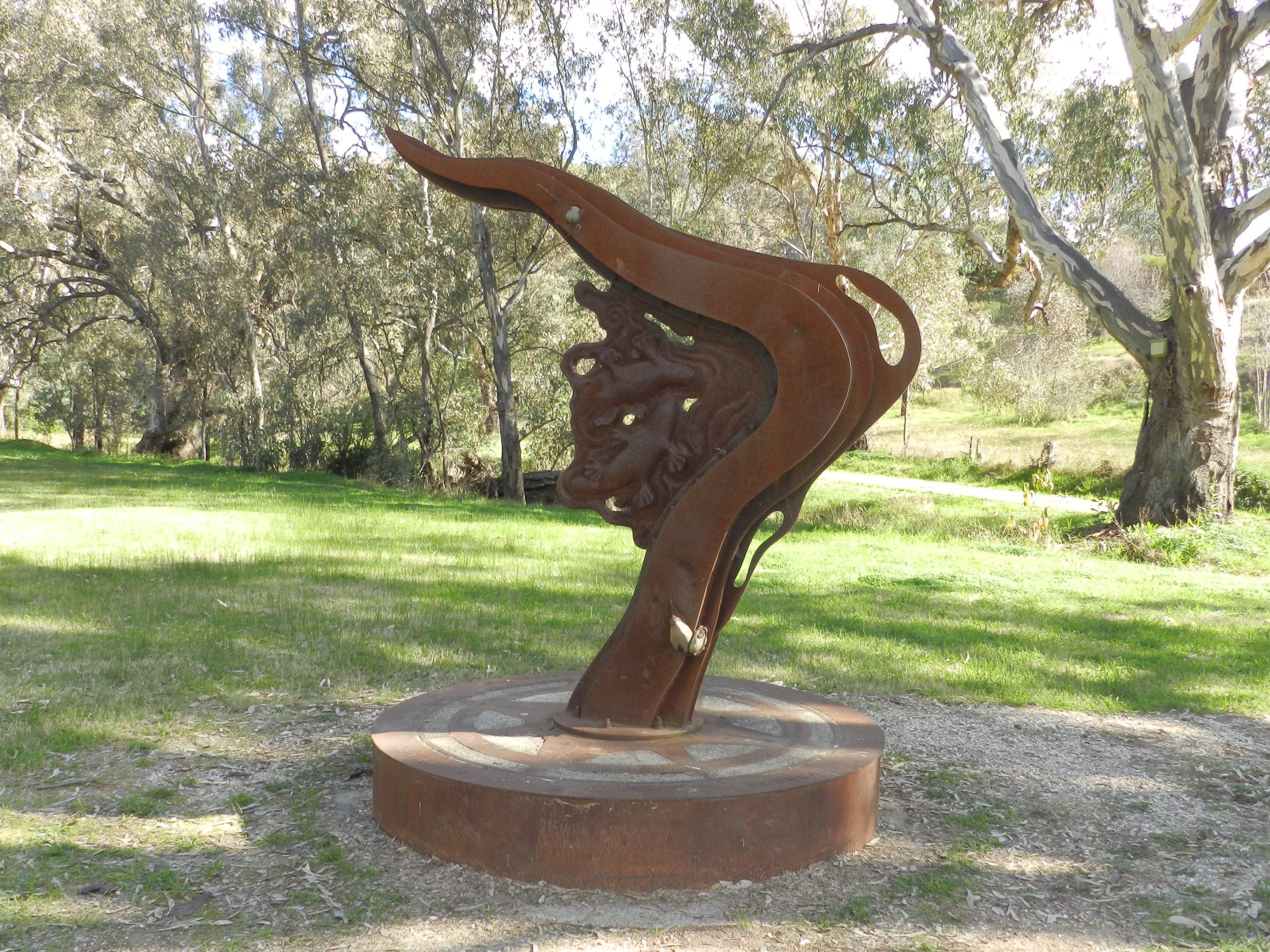
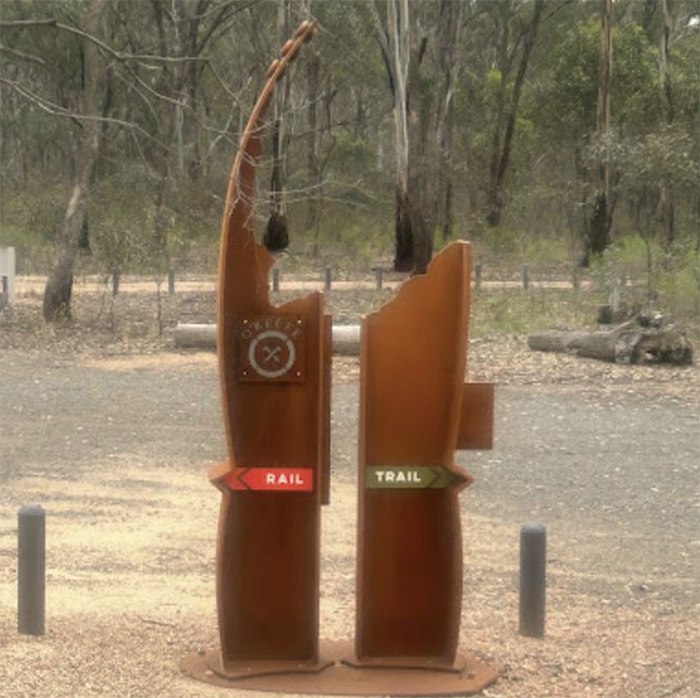
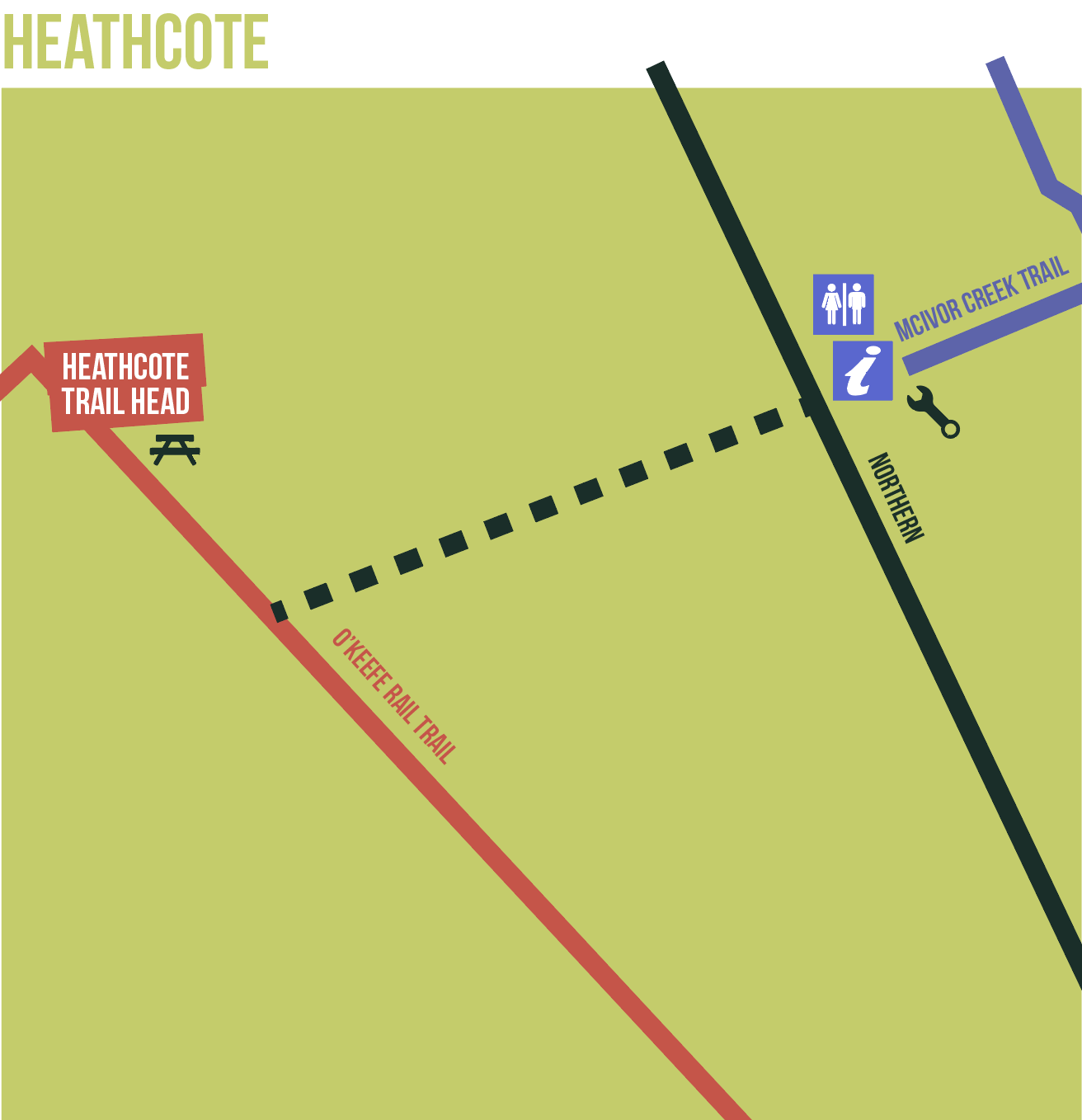
The O’Keefe rail trail is a relatively flat trail traversing box-ironbark and yellow gum woodland plus river/waterway reserves and farm land. The surface is a mixture of gravel types plus some asphalt sections in urban areas.
The trail surface is suitable for walking as well as best suited to bikes such as MTB, hybrid, touring bikes, gravel bikes, and flat bar. The trail is continuous between Bendigo – Axedale – Heathcote, being a total trail distance of approx. 50kms.

Trail underpass ‘tunnel’ at Axedale. Photo: Garry Long

O’Keefe Rail Trail’s Grassy Flat Creek Bridge Photo: Garry Long
The Trail
- The rail connection from Heathcote to Bendigo (Sandhurst) was completed in 1890 by local businessman Andrew O’Keefe
- The line was closed in 1958 and was used for gravel extraction, grazing and local property access. 1993 saw the Strathfieldsaye Shire develop stage 1 of what would become the O’Keefe Rail Trail, which was the second such trail to be developed in Australia after the Lilydale-Warburton Rail Trail
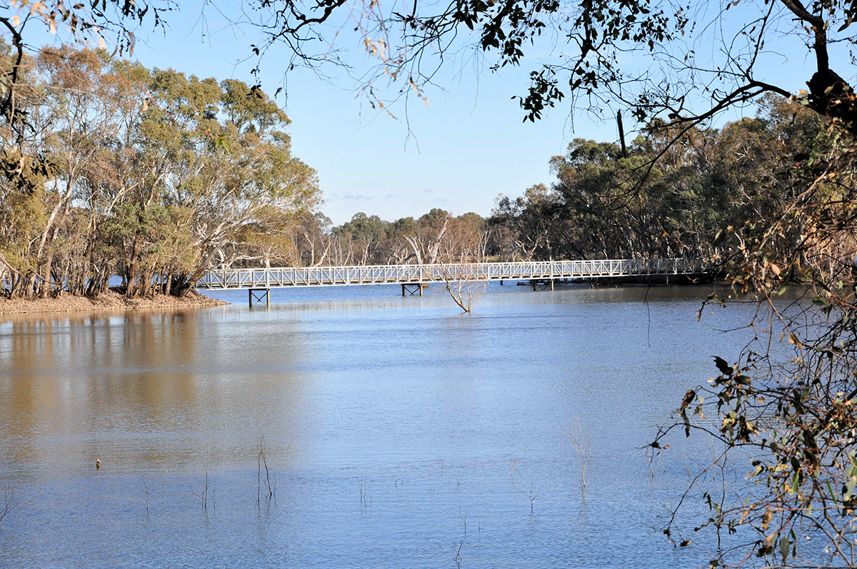
- The trail now provides a continuous linear network of public land between Bendigo and Heathcote. It traverses scenic box ironbark bushland, the Axedale township, Lake Eppalock and areas of farmland.
- Some sections of the trail between Knowsley Forest and Lake Eppalock are owned by local farmers, who have allowed access to their properties for the benefit of trail users. You may find stock on the trail from time to time, so please respect that gates need to be left as found, i.e. either left open or shut behind you.
- The trail hosts the ‘O’Keefe Challenge’ marathon and fun run and ‘Light the Trail’ ride, and other fund-raising events
- The O’Keefe Rail Trail is now enjoyed by approx. 50,000 user journeys each year

Picnic area on the causeway, Lake Eppalock
The ‘Grand Central Rail Trail’
- The O’Keefe Rail Trail runs from Bendigo to Heathcote and is recognised as one of the best in Victoria.
- The re-development of a further 70 Kms of disused rail line from Wandong through Wallan, Kilmore, Pyalong, Tooborac to Heathcote will complete the missing link connecting Central Victoria and will become the ‘Grand Central Rail Trail’