Friends of the Bendigo-Kilmore Rail Trail

Linking central Victoria via the old railway line

The O’Keefe Rail Trail

Features

The O’Keefe rail trail is a relatively flat trail traversing box-ironbark and yellow gum woodland plus river/waterway reserves and farm land. The surface is a mixture of gravel types (packed fine to course gravel) plus some asphalt sections in urban areas. The older section of the trail (Bendigo-Axedale) is progressively having its surface upgraded. Overall, the trail surface is suitable for walking as well as best suited to bikes such as MTB, hybrid, touring bikes, gravel bikes, and flat bar (or road bikes, depending upon the tyres fitted and the rider’s skills).

The trail is continuous between Bendigo – Axedale – Heathcote, being a total trail distance of approx. 50kms.

Access Points

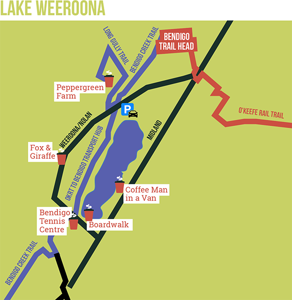
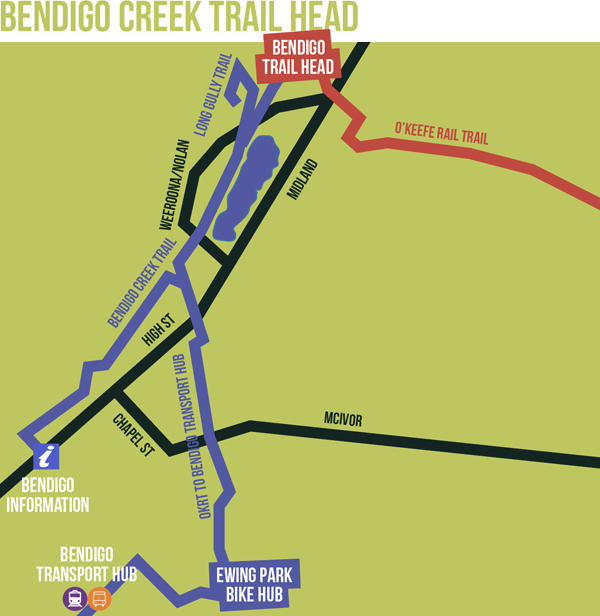
  • Weeroona Avenue Bendigo – At the north western side of Lake Weeroona, there is a public car park (adjacent the Bendigo Rowing Clubrooms) that is the closest (approx 400metres) to the O’Keefe trail’s start/end point at the intersection with the Bendigo Creek Trail. There is plenty of car parking, a café, and toilet plus playground facilities around the lake. The Bendigo Railway Station is approximately 3km to the south, on Railway Place Bendigo.
  • Pratts Park Rd/Rifle Range Rd car park (located in the corner of the Wellsford Forest Regional Park) is adjacent to the O’Keefe trail’s new replica ‘Rifle Butts’ platform.
  • Wilkie Rd Junortoun car park is directly adjacent to the O’Keefe trail. This location also has a Bike Repair Station (tools and an air pump).
  • Longlea – The trail crosses Longlea Lane, at Peppercorn Park (an equestrian centre). No facilities are available for the rail trail users at this location.
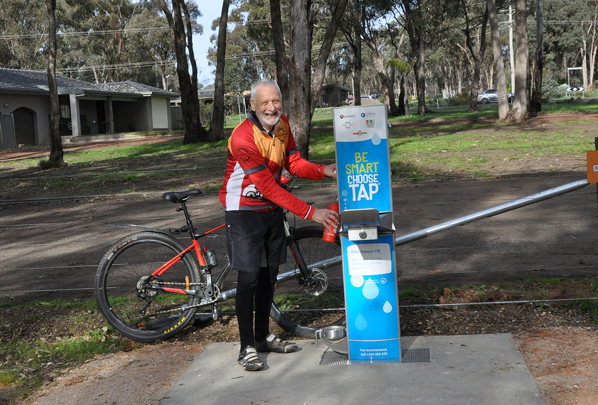
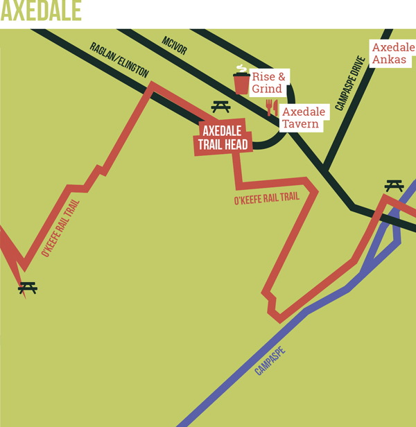
  • Axedale – At the Axedale Hall Reserve, at the corner of High St (McIvor Highway) and Mitchell St, there is car parking, toilets, a potable water station, a bike repair station (tools and pump), playground facilities, Vic Police Station, the nearby Axedale Roadhouse Store, and the Axedale Tavern. Follow trail directional signs.
  • Knowsley Forest – Near the intersection of Toolleen-Axedale Rd and McIvor Hwy, at the entry point to the Knowsley Forest (a reference is the power line’s transformer pole. NB – be careful entering and exiting the McIvor Hwy.)
  • Knowsley – car parking at the Knowsley Tennis Courts, near where the trail crosses Moorabbee Rd.
  • Derrinal – On Old Bendigo Rd, there are no formal off-road parking available. An option is road side parking along the Old Bendigo Rd.
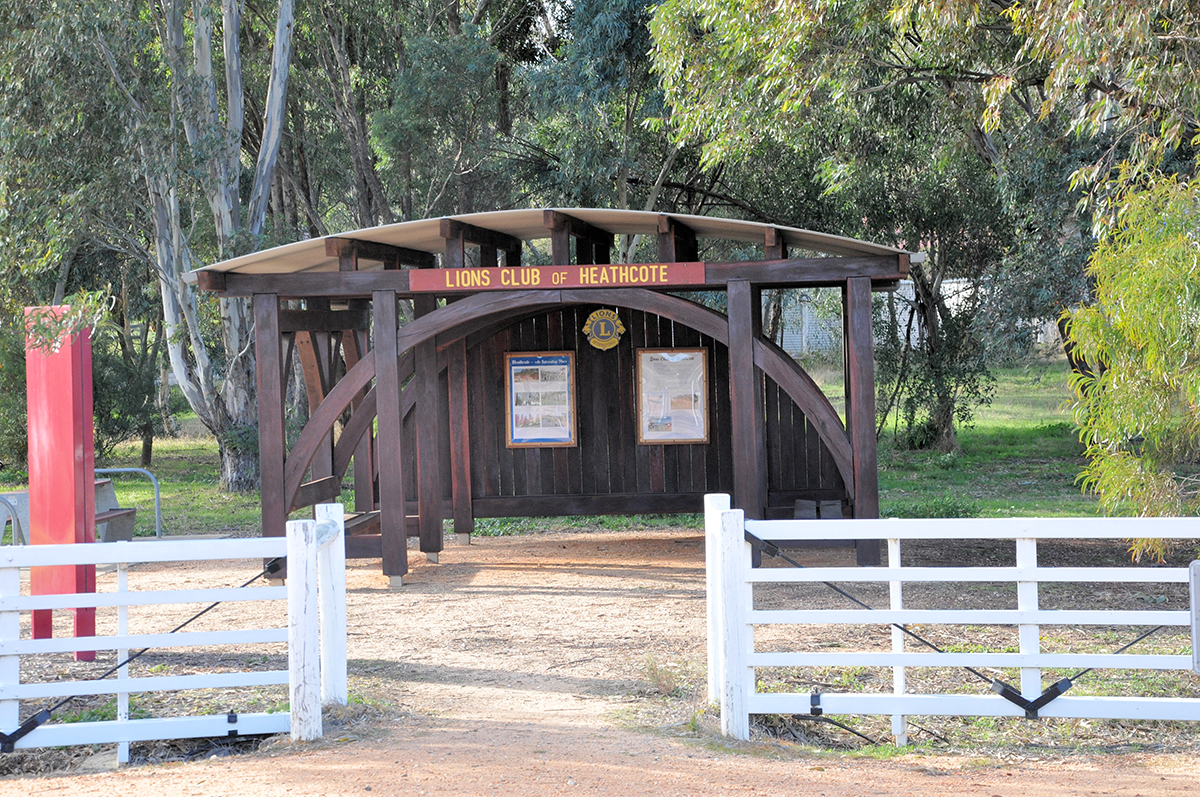
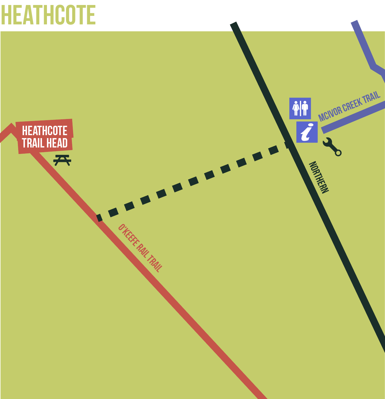
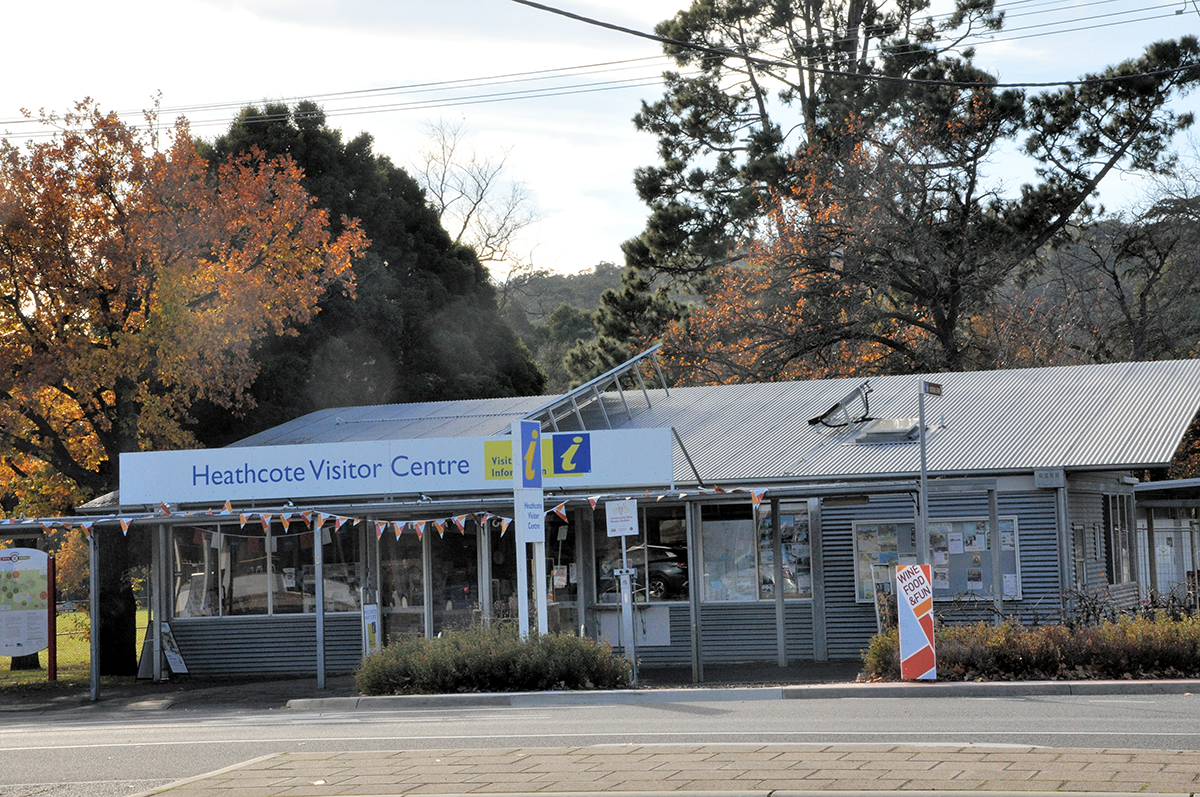
  • Heathcote – The trail’s dedicated off-street car park is at Herriot St, adjacent to the Lions Club’s trail shelter, and historic railway gates. A linking off-road trail is provided to High St and the Visitor Information Centre, follow trail wayfinding signs further along to trail (towards the SE).

While on the trail, look out for…..

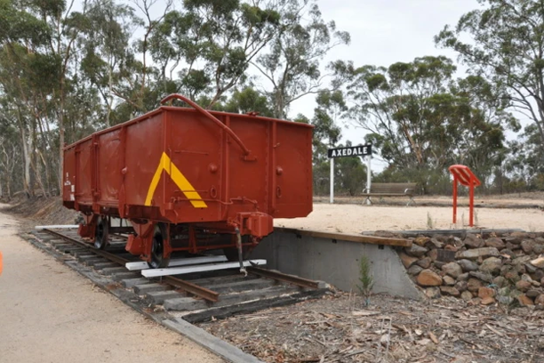
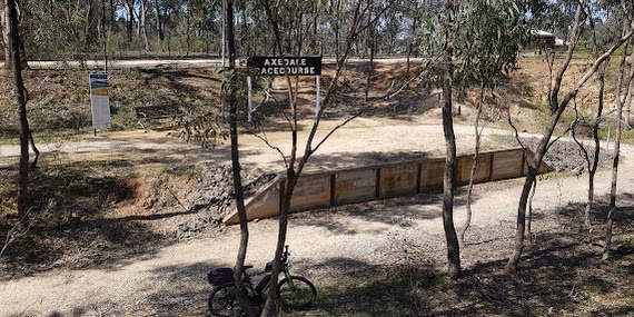
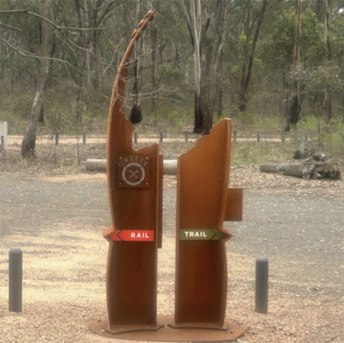
Former railway station and platform sites. Eight sites, formally signed with replica turn-of-the-20th-century railway station name boards. These signs have been installed by the Friends of the Bendigo-Kilmore Rail Trail’s community project.
Replica concrete railway mileposts. A total of 27 replica concrete posts (’73’ to ‘100’) have been installed along the O’Keefe Rail Trail, between Heathcote and North Bendigo, to replace the lost original posts. Painted white with black numbers, representing the ‘mile’ distance from Melbourne.

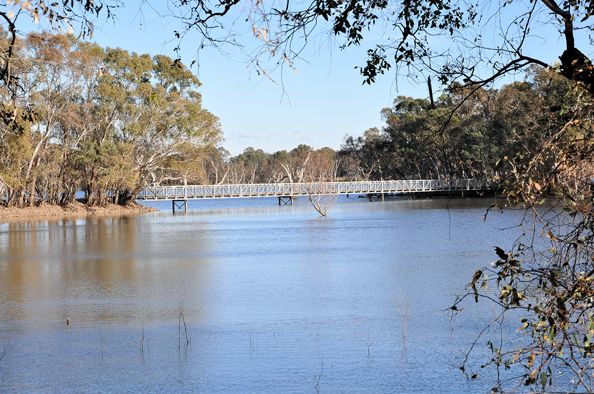
A Lost Road! Where the trail now passes through Lake Eppalock (no flippers or goggles required!!), the Crosbie-Derrinal Rd once had a level crossing of the former railway line. Water levels of the lake both closed the railway line as well as flooded this road. A new sign post on the trail now indicates where the former level crossing and road alignment once were.
The natural environment. During the Spring season there are wildflowers, including native orchids in bloom along the trail. As well as the trail transiting through the One Eye Forest, Longlea Forest, and Knowsley Forest, there are nature reserves adjacent to the trail such as the Bennetts Road Nature Reserve (Bennetts Rd, Junortoun), the Knul-doorong Woodland Reserve (Binks Rd Junortoun), and the Junortoun Flora and Fauna Reserve (Wilkie Rd – Cashens Rd Junortoun).

Feedback?

The City of Greater Bendigo Council and the Friends of the Bendigo-Kilmore Rail Trail are keen to gain valuable feedback from users of the O’Keefe Rail Trail. Your feedback will assist with trail improvements and ongoing trail development.

Please take the short survey, after experiencing this trail: www.bendigo.vic.gov.au/okeefetrailsurvey

Links

  • The O’Keefe Rail Trail is managed by the City of Greater Bendigo. Refer to the council’s website, call (03) 5434 6000 during business hours, or email requests@bendigo.vic.gov.au to report any trail related issues.
  • The Friends of the Bendigo-Kilmore Rail Trail Inc. is a community group that has been actively involved with the recent developments on this rail trail. See the Contact us page to get in touch.
  • Bendigo Tourism operates the Bendigo Visitor Information Centre which is located in Pall Mall, Bendigo, and the Heathcote Visitor Information Centre (located in High St Heathcote)
  • A proposed trail addition that the Friends group and associated community groups would like to see developed, the Wallan to Heathcote Rail Trail, is under the jurisdiction of the Mitchell Shire Council. Providing feedback to council is important, to gauge public views on this proposal.